©2022 hhfnvolunteers.org. All rights reserved.


About Nepal
Nepal has one of the densest concentrations of World Heritage sites in the World so your time here will be with equal parts culture exploration Trekking the vast Mountains and personal development as you learn skills and make an impact with local Nepali Communities.The population of Nepal in 2019 is reportedly 30 million. There are about 101 ethnic groups speaking over 92 languages. The distinction in caste and ethnicity is understood better with a view of the customary layout of the population. The official language of Nepal is Nepali which is spoken and understood by majority of the population. The ethnic groups have their own mother tongues. English is taught in schools and many of them are Englishmedium schools so a large portion of the population understands the language.
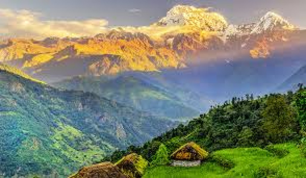
The mountainous regions of Nepal are inhabited by Sherpas,Dolpa-pas,Lopas, Baragaonlis, Manangays. The Sherpas are mainly found in the east, Solu and Khumbu region; the Baragaonlis and Lopas live in the semi-desert areas of Upper and Lower Mustang in the rain-shadow area; the Manangays live in Manang district while the Dolpa-pas live in Dolpa district of west Nepal. Several ethnic groups live in the middle hills and valleys.
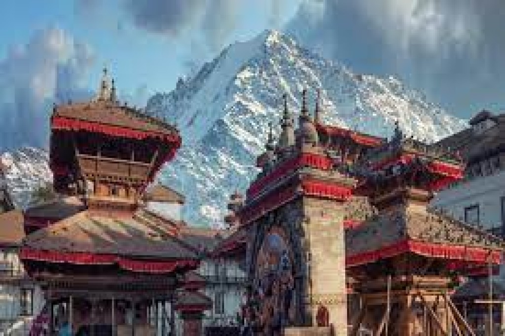
Among them are the Magars, Gurungs, Tamangs, Rais, Limbus, Thamis, Sunuwars, Newars, Thakalis, Chepangs, Brahmins, Chhetris andThakuris, Damai, Sarki, Kami and Sunar. Kathmandu Valley represents a cultural melting pot of thecountry, where people from varied backgrounds have come together to form a diverse population. The natives of the Kathmandu Valley are the Newars.
Although Newars are either Hindus or Buddhists, their culture is vastly differentfrom the rest of the Nepali people. Their rituals, food and festivals are unique to them. Newars of Kathmandu Valley were predominantly traders or farmers by occupation. The main ethnic groups in the Terai are Tharus, Darai, Kumhal, Rajbangsi, Bote, Majhi and other groups. They speak north Indian dialects like Maithili and Bhojpuri. Owing to the fertile plains of the terai, most inhabitants subsist on agriculture. There are, however, some occupational castes like Majhi (fisherman), Kumhal (potter) and Danuwar Nepal falls in the temperate zonenorth of the Tropic of Cancer. The entire distance from east to west is about 800 km while from north to south is only 150 to 250 km. Nepal has vast water systems that drain south into India. The country can be divided into three main geographical regions: the Himalayan region, mid hill region, and the Terai region. The highest point in the country is Mt. Everest (8,848 m) while the lowest point is in the Terai plains of Kechana Kalan in Jhapa (60 m).
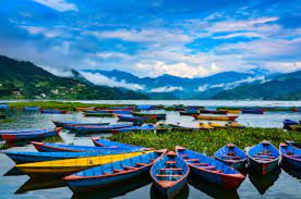
The Terai region has a width ranging from 26 km to 32 km and varies in altitude from 60m to 305m. It occupies about 17 percent of the total land area of the country. Further north, the Siwalik zone (700 – 1,500 m) and the Mahabharat range (1,500m –2,700m) give way to the Duns (valleys), such as Trijuga, Sindhuli, Chitwan, Dang, and Surkhet. The Midlands (600 – 3,500 m), north of the Mahabharat rangeis where the two beautiful valleys of Kathmandu and Pokhara lie.